Terrain survey
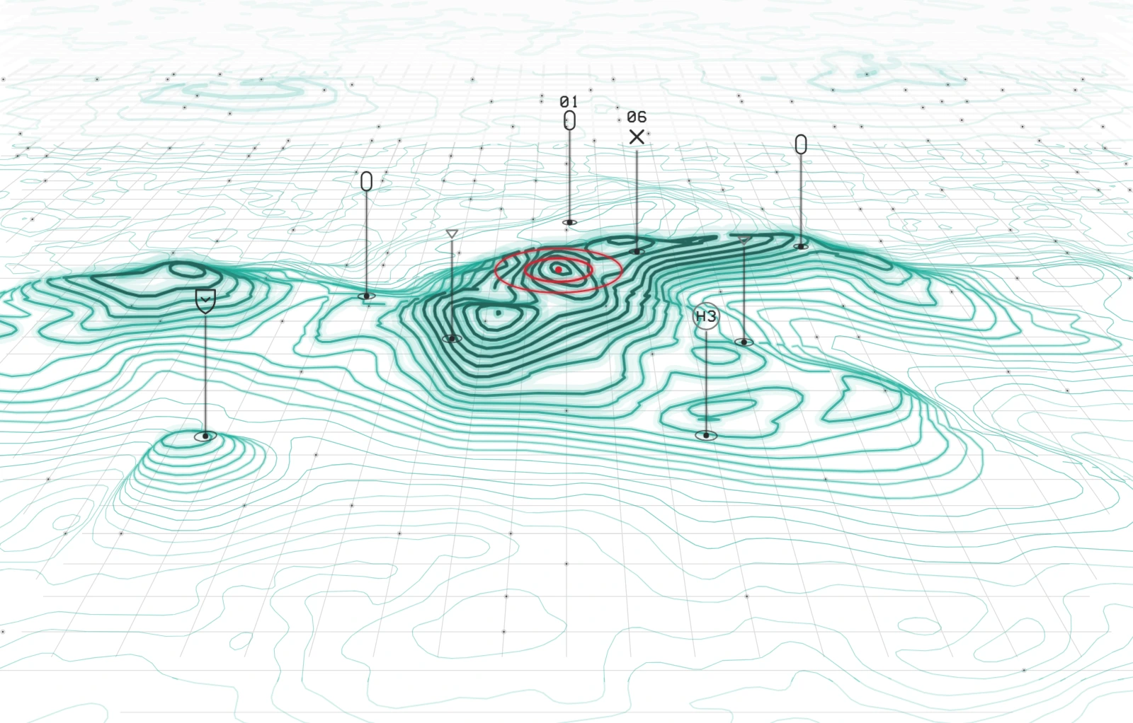
The land rises out of flat ground, and a scan marks every site on it.


Not quite it? Ask for a variation
How it moves
- the map lies flat on the ground.
- the land rises to its true height, low ground first.
- a scan sweeps over it, each site pulses, and the summit is marked.
For developers
- File size
- 24.2 KB gzipped
- Motion
- Plays once, 4.2 s, then holds
- Reduced motion
- Shows a still
- File
- terrain-survey.svg